This is the popular path leading from the Cairngorm car park to the summit of Ben Macdui, the highest Munro in the Cairngorms and second highest summit in Britain. Ben Macdui lies on the southern edge of the Cairn Gorm plateau, on the boundary between Aberdeenshire and Moray. Lower sections of the path are also used by climbers for descent from the Northern Coires and as part of circular walks from the Cairngorm car park.
Work on the on this path is now complete and has mainly involved innovative ‘light touch techniques’ to contain the path, where the team subtly move boulders and use landscaping to define a line and create a sustainable path surface. The results so far have been excellent with walkers now tending to stick to the defined lines and the vegetation is beginning to recover, though the short growing season at this elevation means this will take a few years.
| Project | Classification | Status | Start Gridref | End Gridref |
|---|---|---|---|---|
| CMHP | upland | Maintenance | NO 3280773152 | NH 9737801330 |

Click on a thumbnail below to view the enlargement:
-

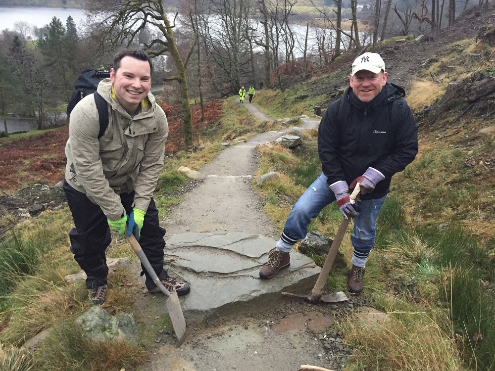
- Working hard on the woodland trail